
Partner with Nigeria's leading environmental consulting firm. Our team is ready to provide world-class solutions for your sustainability goals.
Newsletter
Regulatory updates, regional studies, and project case notes — curated by our consulting team.
View Service
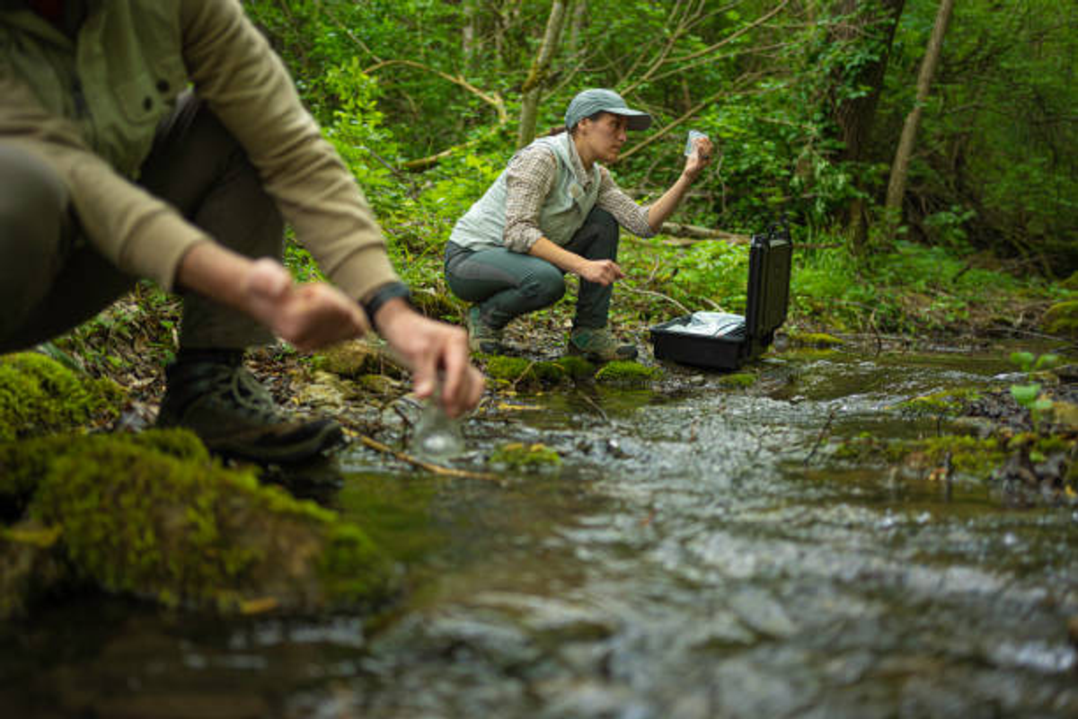
GIS and remote sensing are closely connected technologies that complement each other in the management and analysis of geographical information. Remote sensing serves as a major source of data by capturing images and measurements of the Earth's surface, while GIS provides the tools needed to organize, analyze, and present that information in a meaningful way. Together, they help users gain a deeper understanding of spatial patterns and environmental conditions. The integration of these technologies allows users to perform complex analyses that would be difficult using traditional methods. For example, satellite images obtained through remote sensing can be imported into a GIS platform to monitor urban expansion, detect environmental degradation, or assess the impact of natural disasters. This combination improves accuracy and efficiency in planning and decision-making processes. Today, GIS and remote sensing are widely used together in fields such as environmental conservation, agriculture, transportation, public health, and disaster management. Their combined capabilities enable governments, businesses, and researchers to make informed decisions based on accurate and up-to-date geographical information, ultimately contributing to sustainable development and effective resource management.
Partner with Nigeria's leading environmental consulting firm. Our team is ready to provide world-class solutions for your sustainability goals.
Newsletter
Regulatory updates, regional studies, and project case notes — curated by our consulting team.